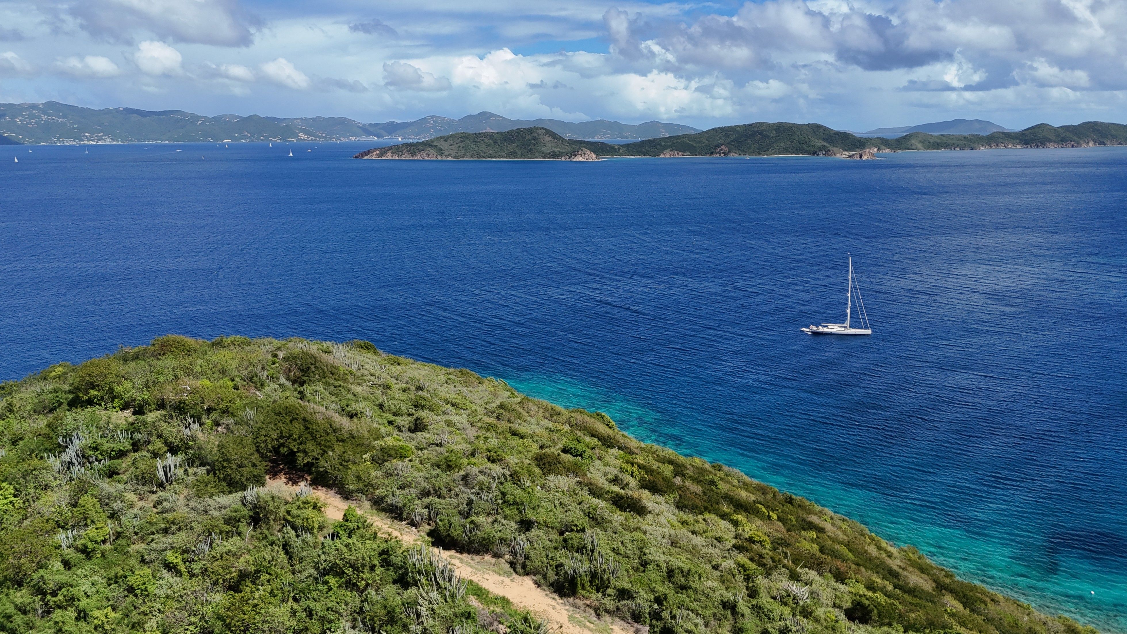
About Norman Island
Norman Island is a 600-acre privately owned, uninhabited island at the southern tip of the British Virgin Islands — and widely believed to be the inspiration behind Robert Louis Stevenson's Treasure Island. With its protected anchorage at The Bight, the legendary floating bar The Willy T, excellent snorkeling at The Caves and The Indians, and a network of ridge trails offering some of the most dramatic hiking in the territory, Norman Island is a must-visit stop on any BVI sailing itinerary.
Both trails start from the same trailhead behind Pirates Bight Restaurant at The Bight — simply dinghy ashore and follow the path between the restaurant and dive shop to pick up the dirt road heading uphill.
2
Trails Mapped
9.8km
Total Distance
456m
Total Elevation
3.5–4.5h
Total Hiking Time
The Bight to Money Bay
This is the signature hike on Norman Island and one of the finest ridge walks in the entire BVI. Starting behind Pirates Bight Restaurant at The Bight, the trail climbs steadily up the island's central spine, rewarding you with sweeping 360-degree views across the Sir Francis Drake Channel, Peter Island, Tortola, and the open Caribbean Sea.
As you gain elevation, the landscape shifts from dry coastal scrub into rugged, exposed ridgeline terrain. The path is rocky and uneven in places, with loose stones underfoot, so sturdy footwear is a must. There's very little shade along the way, so bring plenty of water, a hat, and sunscreen.
At the top of the ridge you'll reach a helicopter landing pad — a perfect panoramic viewpoint and photo opportunity. From here the trail continues southeast, descending toward Money Bay on the island's south side. The bay's name traces back to the 1750s, when treasure from the Spanish galleon Nuestra Señora de Guadalupe — said to contain 55 chests of silver coins — was reportedly stashed on Norman Island. This is the same legend that inspired Robert Louis Stevenson's Treasure Island.
Money Bay itself is a secluded, wild stretch of coastline with shallow turquoise water, coral heads, and a quiet beauty that feels completely untouched. After soaking in the views, you retrace your steps back along the ridge to The Bight.
At the fork near the top, keep an eye out: the left path heads up to the ridge and Money Bay, while the right drops toward a service area — nine out of ten hikers take the wrong turn, so stay left and head uphill.
Norman Island Circular
The Norman Island Circular is a satisfying loop that takes in much of the island's dramatic ridge scenery without the full commitment of the Money Bay out-and-back. Starting from the same trailhead behind Pirates Bight, the route climbs to the ridge before looping back through the island's interior hillside.
Along the way you'll pass through dry tropical scrub dotted with cacti, century plants, and hardy Caribbean bush. Wild goats are a common sight, and birders will appreciate the variety of species that inhabit this uninhabited island — from pelicans cruising along the coastline to bananaquits flitting through the undergrowth.
The trail offers outstanding views in every direction. Looking north, the Sir Francis Drake Channel stretches out toward Tortola and the surrounding cays. To the south, the open Caribbean unfolds toward St. John and, on clear days, all the way to St. Croix on the horizon.
The terrain is moderately challenging — expect rocky footing, some steep sections, and limited shade throughout. The loop format means you won't retrace your steps, keeping the scenery fresh as you work your way back down to The Bight.
It's an ideal hike for those with a morning to spare between snorkeling The Caves and lunch at Pirates Bight — a chance to see Norman Island from a perspective most visitors never experience.
Make It a Full Day
Norman Island is best experienced as a full-day stop on your charter itinerary. Hike the ridge in the morning while it's cooler, snorkel The Caves or The Indians over lunchtime, grab a bite at Pirates Bight Restaurant on the beach, and finish the afternoon with a drink aboard The Willy T. With over 75 mooring balls available at The Bight, it's one of the most accessible and rewarding anchorages in the BVI.